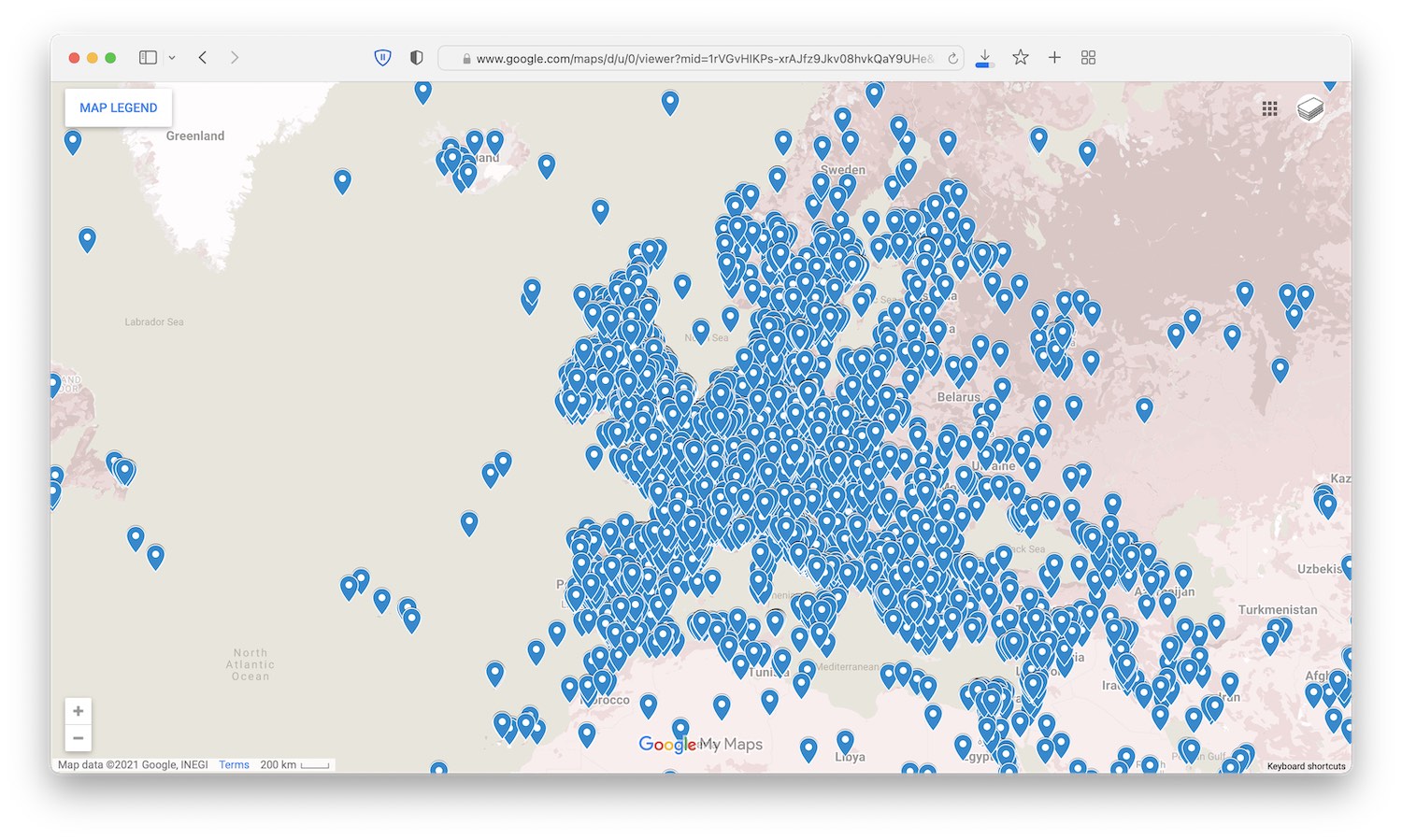
Map Interface Demonstrator
On 19 November 2021, the Heritage Connector project held a one-day hackathon in partnership with Cogapp.
Ahead of the hackathon, a proof-of-concept map interface was developed to explore the potential of creating new entry interfaces into the knowledge graph.

The hc_dump_latest.csv file was wrangled in BBEdit to extract all the Wikidata QIDs.
These were then processed in OpenRefine to add the following Wikidata property P625 (coordinate location) values giving latitude and longitude.
The resulting data was then manipulated in OpenRefine to add links to the Heritage Connector Metadata Explorer and then uploaded to Google Maps resulting to two maps:
Because there is a limit on Google Maps of ten layers, each with max 2,000 pins, and there are 38,576 pins in total, the pins are split across two maps. As you explore, you may discover that there are some pins which actually relate to locations on the moon!